Digital Farm Map in Elevated Plains
The Farm Map is key to safety, productivity, and sustainability
Introducing the digital farm map on AirAgri – the revolutionary agriculture safety platform that empowers farmers and producers to plan, record, and present critical information associated with their properties. Our digital farm map is designed to be easy to use and understand, providing users with a complete overview of their property layout and key details including soil types, irrigation systems, and more. With the ability to record and store detailed information, the digital farm map is a valuable resource for farmers and producers to plan their operations and make informed decisions.
The Farm Map is key to safety, productivity, and sustainability
In addition to its safety features, the digital property map on AirAgri is also an invaluable tool for tracking and monitoring crop growth, livestock locations, and other important data points. With real-time updates and the ability to easily share information with key stakeholders, including customers and suppliers, the property map feature is an essential resource for staying on top of the latest developments in your agricultural business.
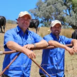
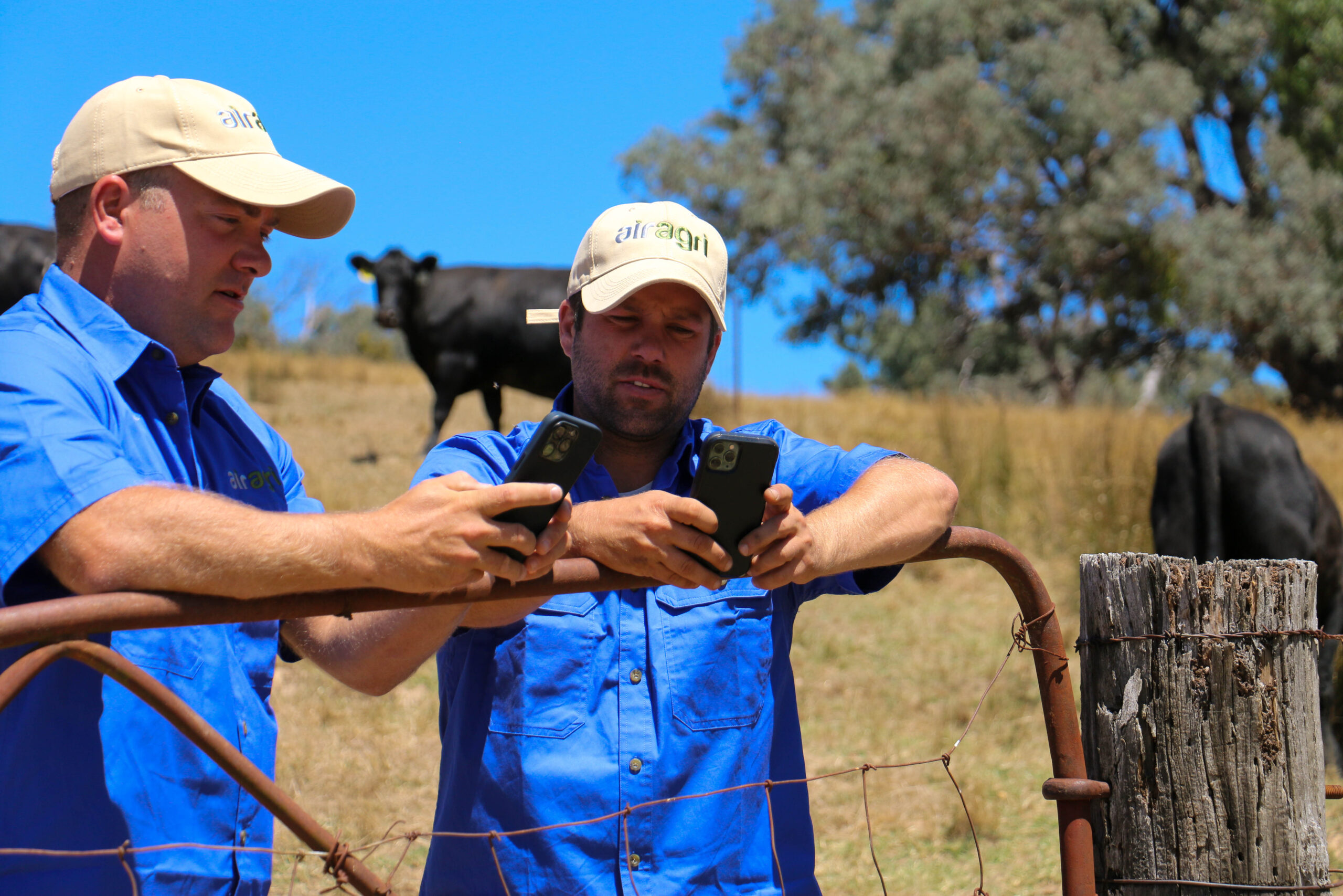
Team Work
Using a digital twin/farm map can greatly benefit teamwork and communication among farm staff and management. By providing a clear and comprehensive visual representation of the farm, everyone involved in its operations can stay informed and up-to-date on the latest developments.
Through the use of a digital farm map, teams can collaborate more effectively on tasks such as planning, monitoring, and analysis of crop health and growth. This can lead to better decision-making, as team members can easily share data and insights in real-time. Additionally, team members can use the map to communicate with each other and stay coordinated, ensuring that everyone is on the same page and that tasks are completed on time.
With a digital twin/farm map, communication becomes easier and more efficient, as everyone can see the same information at the same time. This helps to reduce errors and misunderstandings, and can ultimately lead to increased productivity and profitability for the farm.
Moreover, digital farm maps can provide farmers and their teams with a valuable resource for training and development. By allowing users to explore different areas of the farm and learn about the various crops and livestock, digital maps can help to improve knowledge and skills. In addition, digital twins can be used for simulations and scenario planning, allowing teams to practice and refine their skills in a risk-free environment.
Overall, the benefits of teamwork and communication using a digital twin/farm map are numerous. From better decision-making and more efficient task coordination to improved training and development, a digital farm map can help to transform the way teams work together on the farm.

Reducing Risk
A digital farm map can help reduce risk across the operation in several ways. Firstly, it allows for more accurate and up-to-date information about the farm to be available to all team members. This includes property-specific details such as soil type, water resources, infrastructure, and weather patterns. With this information readily available, team members can make more informed decisions about crop and livestock management, reducing the risk of mistakes or oversights.
In addition, a digital farm map can help with risk management by allowing for the tracking of equipment and assets across the farm. This can help prevent loss or theft of valuable equipment, and also ensure that maintenance schedules are adhered to, reducing the risk of breakdowns and downtime.
Furthermore, a digital farm map can provide a central platform for communication and collaboration between team members. With real-time updates and notifications, team members can stay informed of important changes or developments, reducing the risk of miscommunications or misunderstandings.
Overall, a digital farm map can help reduce risk across the operation by providing accurate and up-to-date information, allowing for more informed decision-making, tracking of assets and equipment, and facilitating communication and collaboration between team members.

Record Keeping
A digital farm map can help you create easy records around your property by allowing you to interact with any physical object in a digital way. With the ability to add instant notes and records regarding treatments, activities, or tasks, you can quickly and easily keep track of everything happening on your property. This ensures that all records are in one place and can be accessed at any time, making it easier to stay organized and plan future activities. Additionally, the ability to access and update records in real-time using a digital farm map can reduce the risk of miscommunications or missed information, leading to a more efficient and effective operation. Overall, using a digital farm map can save time and reduce the risk of errors, ultimately helping you to better manage your property and ensure its success.