
Test Title Here
Upload, download & preview captured photos, videos and files
Upload different media types into your Birdi mission, such as ground-based photography from a DSLR or smartphone, video files and panoramic 360s. Keep them in one location for assessing, sharing and more.
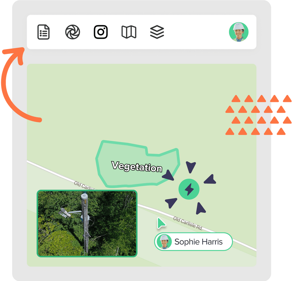
Visualise drones’ map location, orientation and pitch
Using georeferenced data from within each image, visualise the precise capture location of each image in Map View. View image meta data for additional details about the capture (e.g. orientation and pitch).


